Agricultural Land Use Plan
Agricultural Land Use Plan
- GPS
- Quick
- Accurate
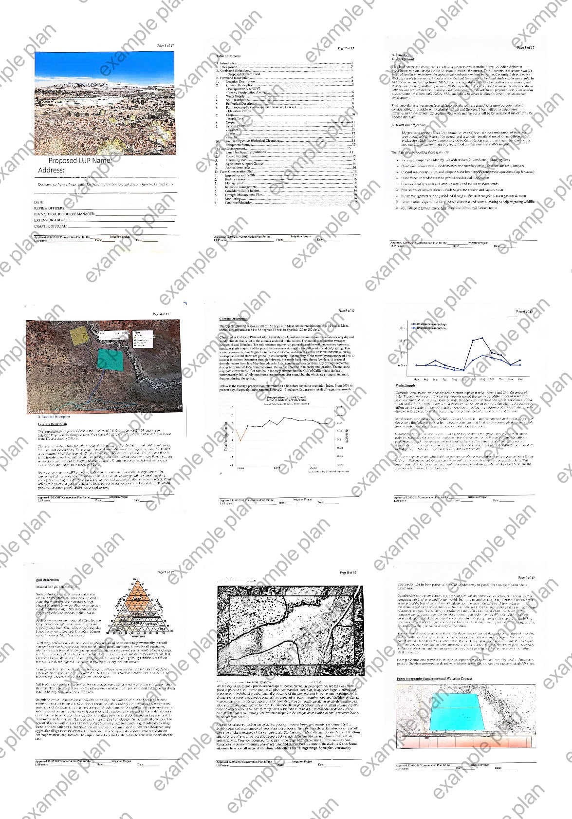
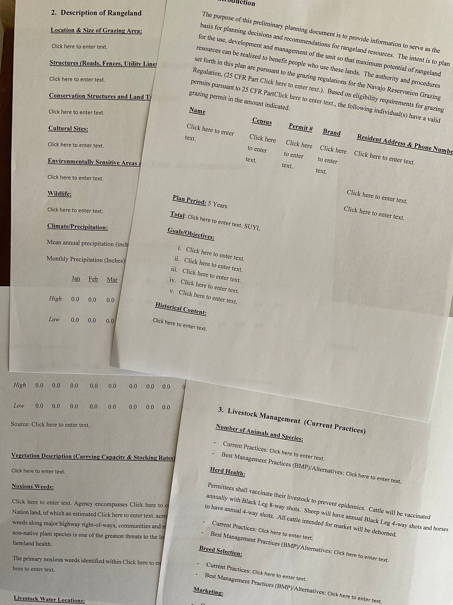
We will work for you to develop a conservation plan for your agricultural land use field with as much earth information as possible. Together, we will discuss your goals and challenges in establishing your vision to success, and together, we will complete your plan with your successful vision in mind.
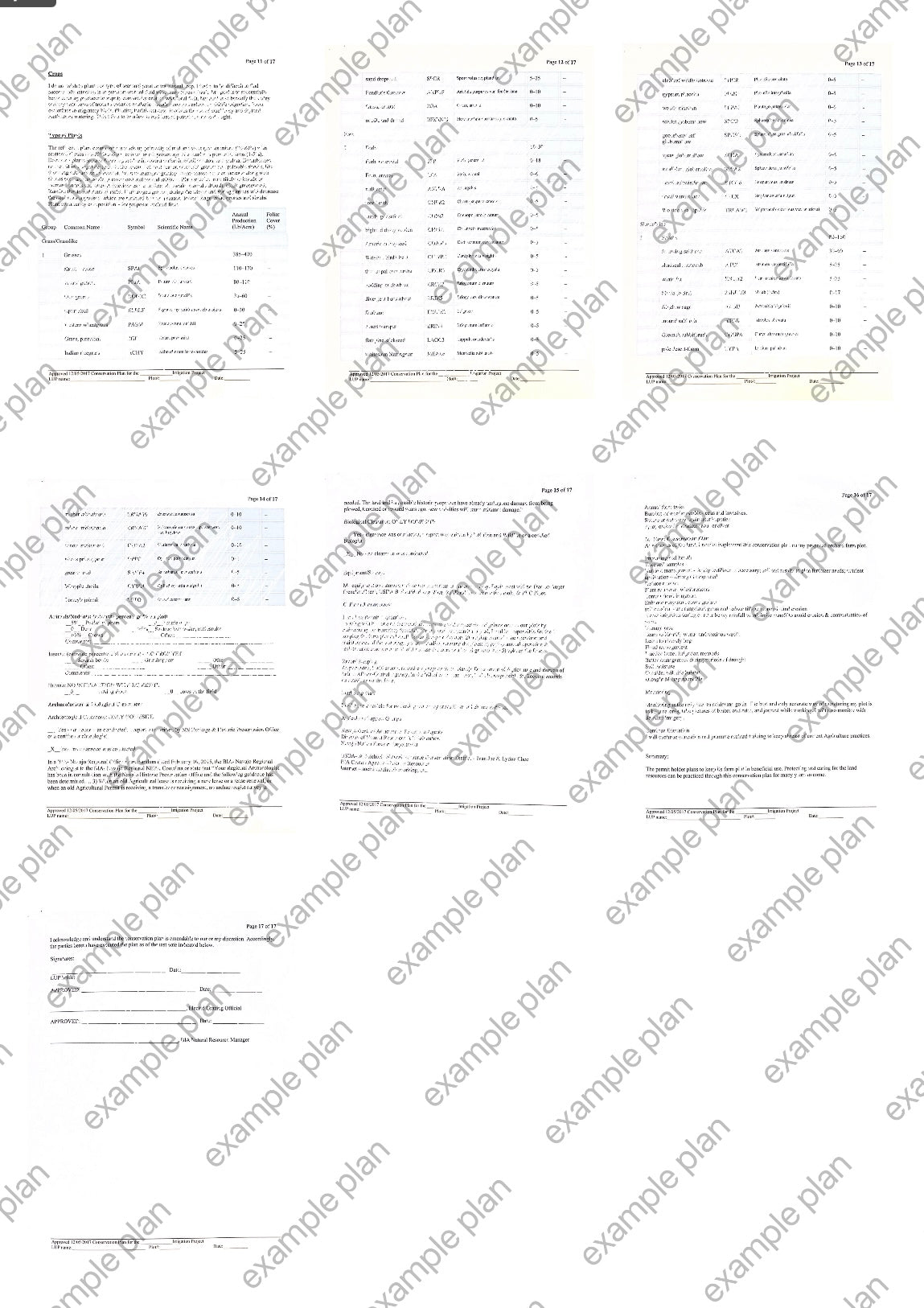
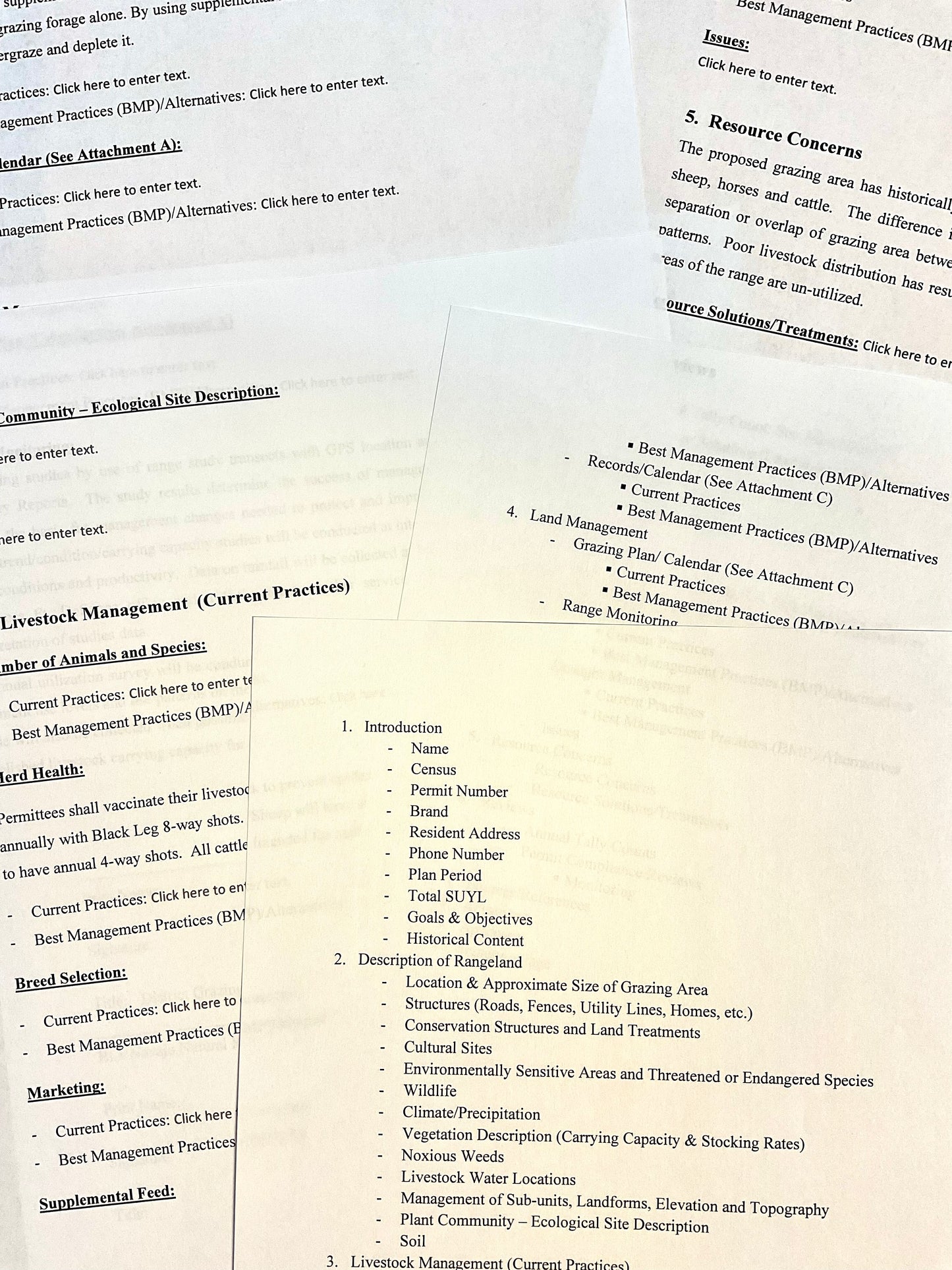
This plan will be an approximate, 25 to 30 pages, (possibly more) of insightful, earth-detailed research that we will write in the standard Conservation plan format. Together, we can discuss challenges and solutions. Where we then, type-out and refine your vision.
Our service is to help you obtain earth information quicker, allowing you to focus on securing a permit or securing funding. We will not request further information and will only incorporate our own researched earth data in a fully built Conservation Plan for your cornfield.
We will configure all of the information we collected and discussed together into a Conservation Plan that satisfies desired questions like: crop management, value-adding, elevation and topography, precipitation data, mapping and charts, soil classification and types, vegetation and much more.
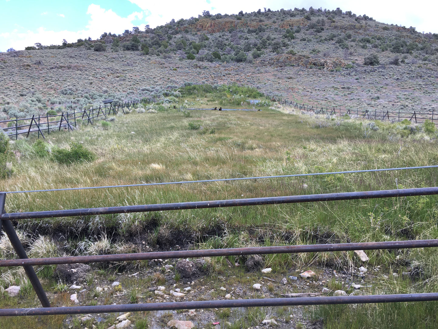
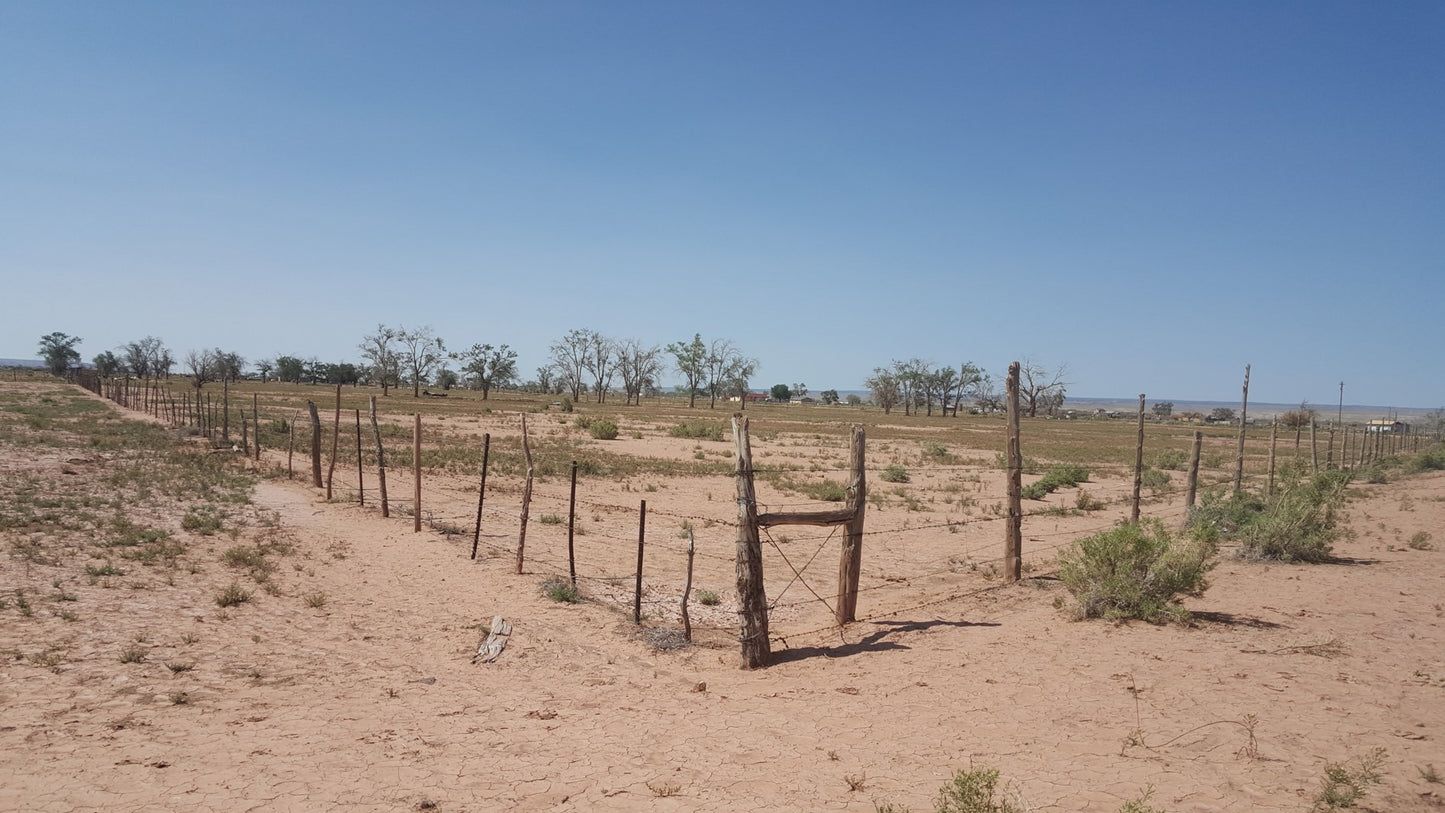
For us to begin, we only need one coordinate, centered in your field, and then click the add to cart, and proceed with the payment. Once pin-pointed and purchased, we will begin our earth research and write about your farming lifestyle. From there, send photos of your field to our number (928)-349-2014, where your photos will only be used for your conservation plan and no social media post or public viewing.
Upon completion, we will email a draft PDF document and begin finalizing for your permit approval. Each plan is, ready to print, ready to sign, It's simple as that.
1. To begin, Pin-Point the center of your cornfield and follow the steps below.

Select your delivery method:
Pinpoint your Corral or Cornfield
GPS Coordinates will appear here:
Powered by Wayfinder
Click Add to cart to Check out
Couldn't load pickup availability


